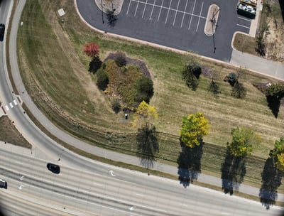
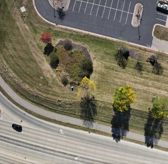
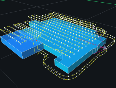
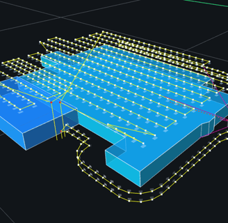
Aerial Mapping Services
Precision mapping, orthomosaics, and terrain/topographic maps.
Drone Photography/Videography
Aerial photos and videos on demand; flying solo or working with other members of your media team.
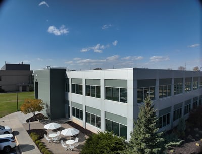
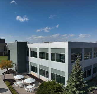
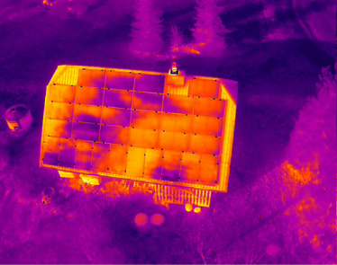
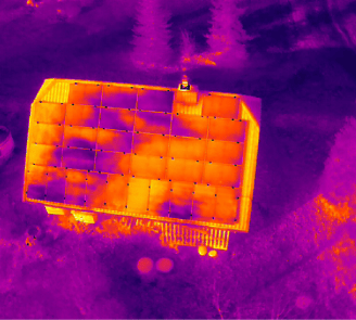
Building Maintenance Solutions
Drone-based modeling, site mapping, and computerized defect analysis.
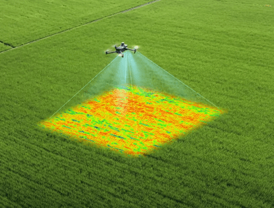
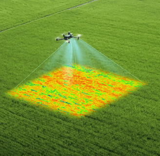


Agricultural Drone Services
Multispectral analysis to evaluate crop growth and guide progress.
Marketing Photography/Videography
Long-term partnerships and quantity discounts available
Thermal Imagery
Two week lead time required.
Drone Services
Specializing in mapping, agriculture, and building analysis projects.
Sierra 2 Drone Operations provided exceptional data collection for our mapping project. Their professionalism and expertise in drone services truly made a difference!
Future You

★★★★★
Serving Southeast Minnesota and surrounding states
Photography Videography Agriculture Mapping
sierra2drones@gmail.com
© 2025. All rights reserved.