
Mapping Services
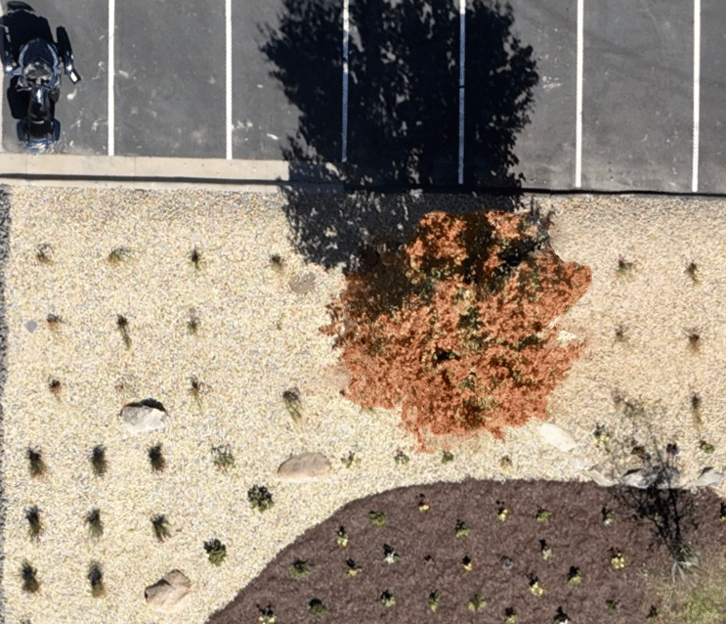
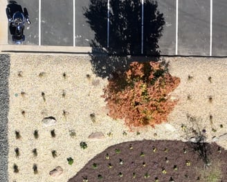
By using photogrammetry software, we generate composite images of large areas composed of many individual images.
Images are scaled properly, rectified to show a true top-down view, and are highly accurate: Absolute accuracy is within 2-5 cm (in Minnesota and Wisconsin only), and resolution down to 1.5 cm.
Note that these do not qualify as legal surveys.
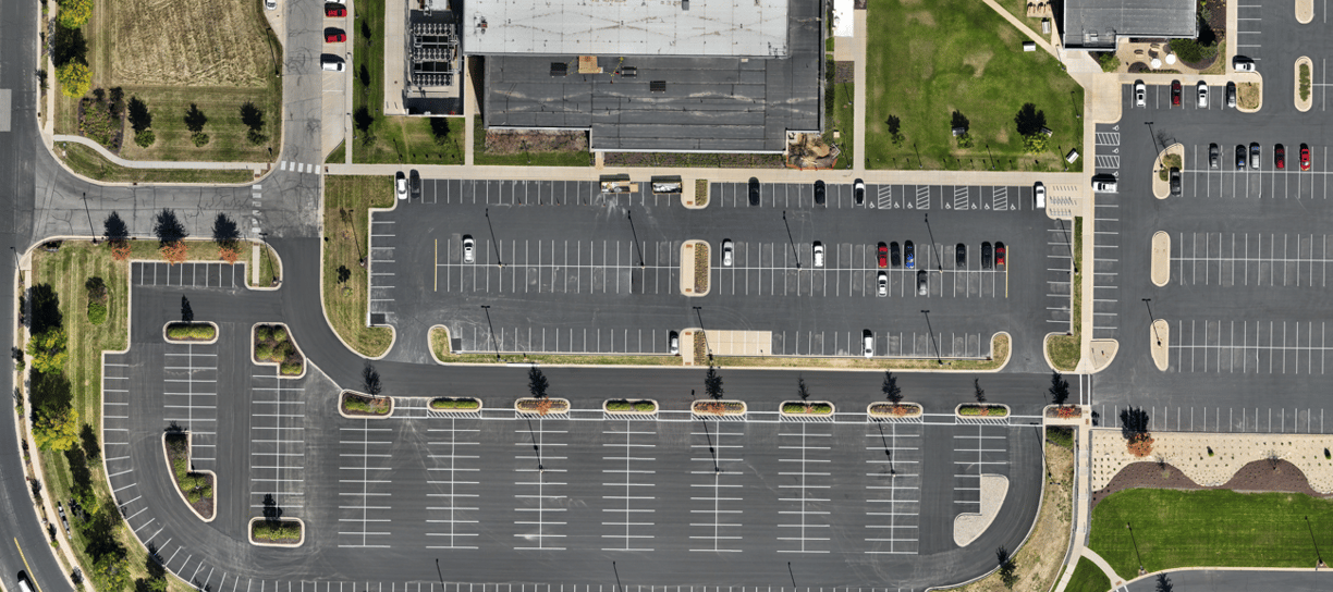
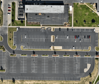
Images can be zoomed in for greater detail. Typical resolution is 1-2 cm per pixel.
Site sizes can range from less than an acre to in excess of 1 square mile.
Price depends on size of area and detail/resolution level.
Serving Southeast Minnesota and surrounding states
Photography Videography Agriculture Mapping
sierra2drones@gmail.com
© 2025. All rights reserved.