Building Defect Analysis
By utilizing advanced computer algorithms, we are able to scan the surface of a building for visible defects such as cracks, warping, blistering, discoloration, and other damage.
Note that this does not legally qualify as a building inspection.
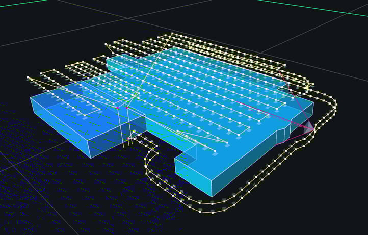
Step 1: Flight Planning
A detailed flight plan is generated to allow the drone to take a series of relatively close (<15 meters) photographs of the building surface.
Factors such as airspace, obstacle locations, and mission objectives are considered.
In the picture to the right, each white dot represents one photograph.
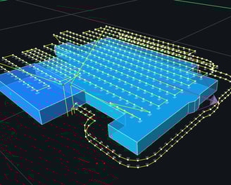
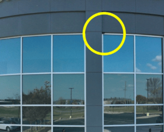
Step 2: Data Collection
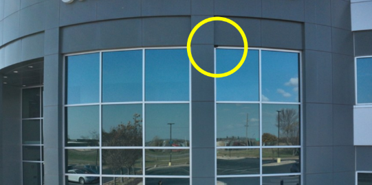
The drone flies the prescribed plan, taking the necessary imagery. A defect on this building is circled in yellow for clarity.
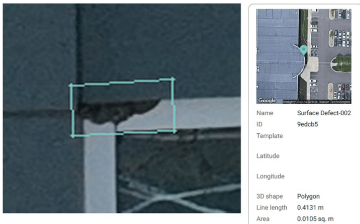
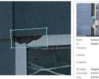
Step 3: Analysis and Reporting
The imagery is analyzed with advanced computer algorithms to automatically identify and categorize visible defects.
Defects are collected into an easy-to-use PDF that can serve as a checklist for your maintenance team, or archived for future monitoring.
Serving Southeast Minnesota and surrounding states
Photography Videography Agriculture Mapping
sierra2drones@gmail.com
© 2025. All rights reserved.