Precision Drone Services for Your Needs
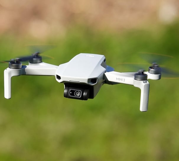
Photography/Videography
Professional photography and videography for events and marketing.
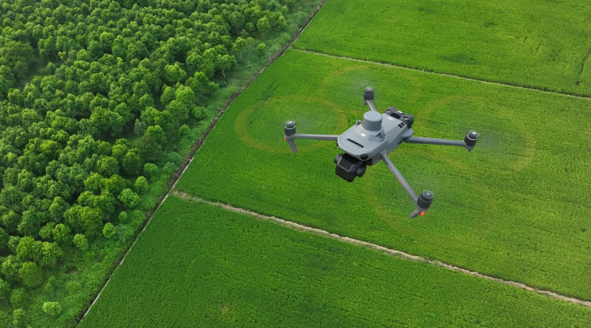
Multispectral Crop Analysis, Terrain Modeling, and Site Mapping
Exterior Defect Analysis, Site mapping, 3d Modeling
Commercial / Agriculture Services
Building Analysis
Explore our Drone Services
Drone solutions for mapping, agriculture, building analysis, and photography in Rochester, Minnesota.
About Us
At Sierra 2 Drone Operations, we specialize in drone data collection, mapping, agriculture, and building analysis while also offering photography and videography services tailored to your needs.
We are a new startup offering a wide variety of drone-based services, serving the southeastern Minnesota and surrounding areas.
Sierra 2 Drone Operations provided exceptional mapping data for my agricultural project. Highly recommended service!
Future You

★★★★★
Serving Southeast Minnesota and surrounding states
Photography Videography Agriculture Mapping
sierra2drones@gmail.com
© 2025. All rights reserved.